

OS MD for Leisure Nick Giles has said: “We’ve tried to make OS Maps app as welcoming as we possibly can for everyone, as we want to continue with our mission to help more people get outside more often and let them discover how great the British outdoors and getting outside is.”
Ordnance Survey has revamped its five-star-rated OS Maps app making it easier to record your miles, find routes and use its amazing functions.
The app offers a new Home tab, which opens with the app and better showcases the things you can do – Find routes all over the country, Create a route, Download a map, Bookmark a route, Record an activity or browse Topographic maps.
You navigate the app via a selection of tabs across the bottom of the screen. They are:
Home
The place you can start planning, finding or learn about how to use the app before, during and after your walk.

Routes
The place you can Search for routes anywhere in the country, filtering by length, difficulty or rating, or Create a route of your own.

Maps
The tab most like the old start screen, where you can zoom to where you are, browse maps of the whole country, download sections of map you select for offline use, and switch between topographic maps and aerial photo layers.

Activities
The place you Record your walk, browse walks you’ve done in the past and see a running total of your miles in the last 7 days, 4 weeks, 3 months, 6 months or year-to-date – for a more detailed guide to recording your walks click here.)

Saved
The place you can see the routes you’ve plotted or bookmarked in the past, your offline maps and any companion digital maps for your paper sheet maps.
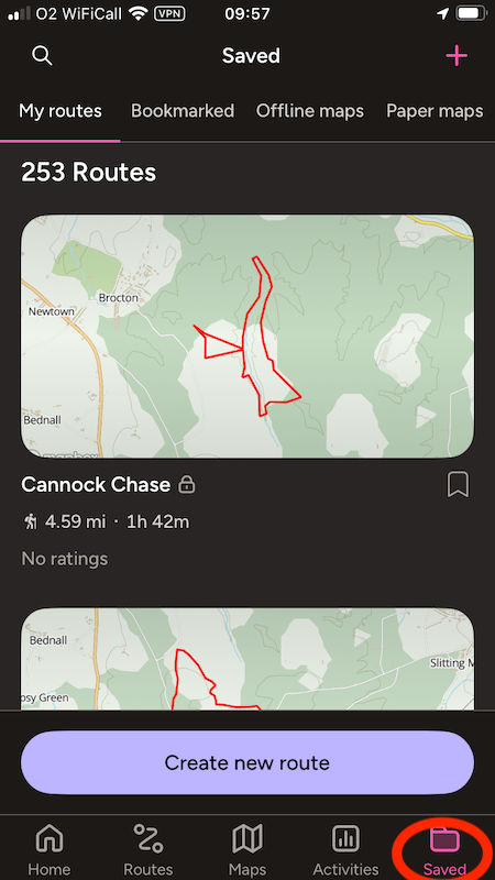
For any saved route you can now get Directions to start via Google Maps, Apple Maps or Waze, see the walk in Tabletop 3D, see its ups and downs in the Elevation chart, Export its GPX or Edit it.)


New OS maps: your settings to-do list
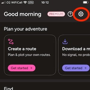
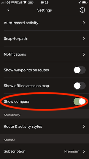
There’s some fine tuning you can do in the settings, accessed by touching the cog on the home page.
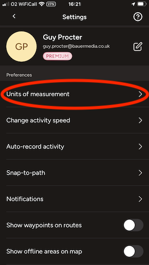
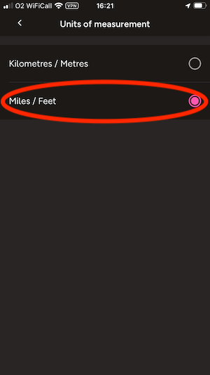
1 Change the unit of measurement to miles
2 Personalise your activity speed
The app’s default assumption of how long routes will take is based on Naismith’s rule – quite a keen pace! You might get more accurate estimate if you take this back to 2.5 mph or less.

3 Enable Global snap-to-path
This makes plotting routes much easier as the line ‘magnetically’ snaps to follow the path on the map. It’s on by default but only in National Parks.

4 Show compass
This allows you to orient the map according to where north is and switch between a fixed and moving map orientation.
5 Personalise the Routes and activity styles
Adjust the colour, thickness and transparency of the lines your walk. You can have different styles for the routes you plot and the walks you record if you like.

