
What's scarier?
a) teaching your son/daughter/partner to drive, b) listening to X-Factor contestants murder an old favourite, or c) map reading. If you chose c), then read on. Here you’ll find the essentials of navigation, the tips and know-how of map and compass to leave you feeling confident to go exploring.

Learn the symbols

Maps can seem pretty hieroglyphic to the uninitiated, but every one contains a legend or key in a box to the side for handy translation. Every time you come across a symbol or line marking you don’t recognise, look it up until it is learned. Here are the absolute essentials you’ll soon know and love from your Ordnance Survey Explorer map.
1 Footpath, Bridleway, Byway open to all traffic – You can walk the lot (hooray) but bridleways are open to horses and cyclists too, and byways are open to any kind of traffic game enough to try.
2 Access land – A yellow wash across the map means you can walk wherever you please.
3 Streams & rivers – No surprise these blue lines mean water, and the width of the line represents the width of the waterway. If it’s more than 8m across you’ll see two lines, coloured blue between.
4 Marsh & bracken – Vital for knowing if you’re going to squelch into a bog or hack your way through thigh-high undergrowth.
5 County boundary – A nice dashed line that looks like it’s a path: it’s not. It’s a county or authority boundary, invisible on the ground and one to ignore on the map.
Understand contours
These orange lines represent the ups and downs of the land; the closer together they are, the steeper the slope. Contours are a vital navigation feature as they very rarely change, unlike fences, walls, forestry, buildings, and paths. But how do they work? Look at a real hill and imagine it’s surrounded by water at its base. The water level is where the contour line would be. Increase the flooding and imagine the water rise to half way up. What does the contour line look like now? And when the water rises all the way to the top? All the map does is display these imaginary lines on paper. Your job is to imagine them back in 3D to gauge the size, steepness and shape of the hill.

Scale
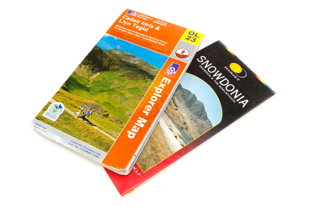
Maps come in different scales, from the whole of the British Isles on a single sheet, through the road atlases we’re all familiar with, to super-detailed local street-maps. 1:25,000 is the ideal scale for walkers – it’s enough to show everything you want but not so much you need a wheelbarrow to cart your scroll of map around. Ordnance Survey Explorer and Harvey Superwalker maps both use this scale, and every grid square on these maps represents a square kilometre on the ground.
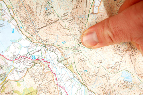
What's a grid reference?
SK227853 or 6518 or TL1396 may all look like computer code, but they’re grid references and an invaluable way of pinpointing your location on a map.

THE GRID
Your map is divided up by a grid of blue lines, each of which is numbered. The vertical lines are called eastings, as they are numbered across the map from west to east, or left to right. The horizontal grid lines are called northings as their numbers increase up the map from south to north, or bottom to top (the top of the map always represents north). In grid references the eastings always come first, then the northings – or think of it as going along the corridor, then up the stairs.
4-FIGURE GRID REFERENCE
These are used to identify a particular grid square, or square kilometre of ground. The easting is the number of the line on the left of the relevant square; the northing is the number on the line at the bottom of the square. Say you’re looking at the Lion Inn on Blakey Ridge: the number on the vertical line to the left is 67, the number on the bottom line is 99, so the four-figure reference for the square is 6799.
6-FIGURE GRID REFERENCE
You might want to pinpoint somewhere a little more precisely as it can take a lot of looking to find something in a square kilometre – this is where a six-figure grid ref comes in. The principle is exactly the same but imagine the relevant grid square is further divided into tenths, so the easting for the Lion Inn becomes 678 (as it’s 8/10ths of the distance across the grid square), and the northing becomes 997 (as it’s 7/10ths of the distance up the grid square), and the six-figure grid reference is 678997.
THE PREFIX LETTERS
Gridlines are numbered from 00-99 which means that every 100 kilometres the grid is repeated. Each of these 100 km squares is assigned a two-letter reference in what’s known as the National Grid, and these often appear in a full grid reference – say SE678997 (for our pub example). Check your map key to find out which square of the National Grid you’re looking at.